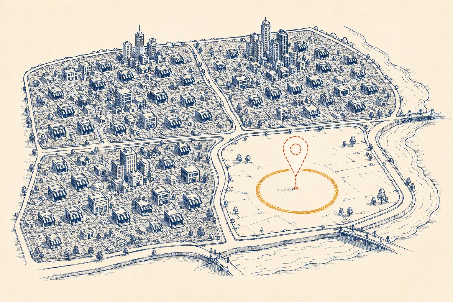
What Geo-Location Analysis Includes
Geo-Location Analysis grids all of Edmonton by quadrant. It runs on CitySweep. It shows which map-pack territory no competitor currently owns. It requires the entire city gridded by quadrant, not one address. It excludes assumption about which neighborhood seems underserved.
What the Analysis Measures
- Divides: the entire city by quadrant, never a single address.
- Names: every quadrant’s current map-pack owner.
- Flags: open territory before a lease is signed.
- Pulls: fresh data the same day it reports.
Open Map-Pack Territory
- Geo-Location Analysis produces a shortlist of specific areas the data shows as open.
- Geo-Location Analysis estimates what it would realistically take to hold each open area.
- Geo-Location Analysis precedes a lease or location decision.
- Open map-pack territory becomes the subject of the one-time SEO sprint once a location decision is made.
The Step by Step Process
Geo-Location Analysis overlays the citywide grid against a category’s current map-pack ownership. It points at where a business should physically be, not only who it competes against.
- Category and boundary confirmation. We confirm the category and the outer boundary of the city area worth gridding, so the sweep covers every quadrant a realistic customer base could come from.
- Citywide grid sweep. Geo-Location Analysis runs on CitySweep, reading the local pack in every quadrant across that boundary, a real search from each point, both devices where relevant, so the resulting map reflects actual search behavior rather than a radius drawn on a map.
- Ownership mapping. Geo-Location Analysis names every quadrant’s current owner, and the quadrants are ranked by how tightly one or two competitors hold them versus how open they are.
- Opportunity shortlist. Geo-Location Analysis produces a shortlist of specific areas the data shows as open, sized by what it would realistically take to hold each one against whatever competition already sits nearby.
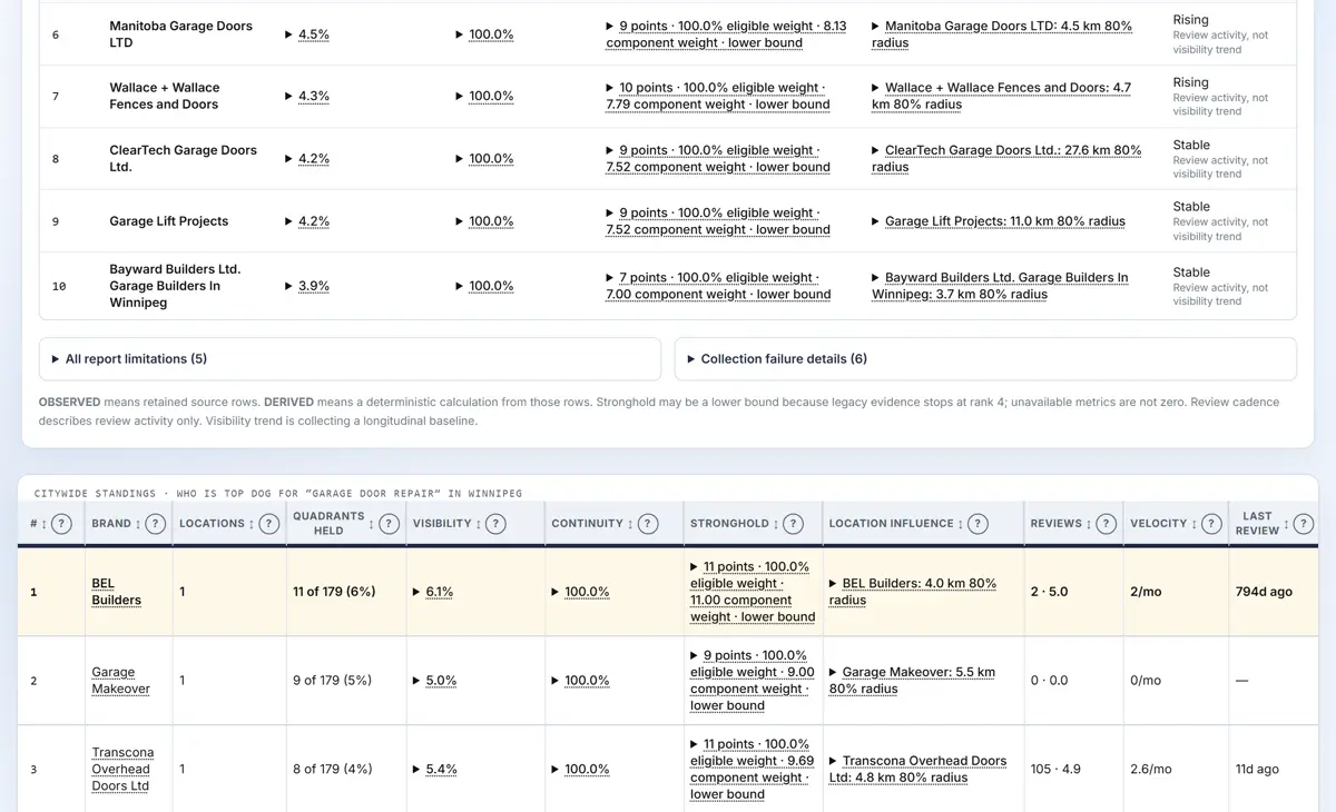
- Written location recommendation. Geo-Location Analysis hands back a written shortlist, not a verbal recommendation, with the standings table attached, so the specific data behind it can be checked against the actual grid.
Real Exhibit
A CitySweep citywide standings table used for a geo-location analysis
Questions Edmonton Businesses Ask
Where should I open my second location in Edmonton?
The honest answer only comes from gridding the whole city and reading who currently owns the map pack in every quadrant for your category. A neighborhood can look underserved from a walk-through and still be tightly held once the actual local-pack results are read, and a quadrant with real open territory can look unremarkable until the grid confirms no competitor currently holds it. We run that citywide reading before pointing at a specific area.
How do I know if an area is oversaturated?
Saturation shows up as one or two names holding the map pack across most of the grid points inside a quadrant, consistently, across your category's core keywords. Open territory looks the opposite: no single competitor holding more than a handful of nearby points. CitySweep grids the whole city so this comparison is measured quadrant by quadrant instead of guessed from a drive around the neighborhood.
How much does a geo-location analysis cost in Edmonton?
A geo-location analysis here costs $749, one-time. The price is flat for a flat scope: the same citywide grid, the same quadrant ownership map, and the same written location recommendation, every engagement.
Can this analysis tell me if my current location is the problem?
Yes. The same citywide grid that flags open territory for a new location also shows whether your existing address sits inside a quadrant a competitor already dominates, which is frequently the real explanation behind flat visibility that on-page changes alone will not fix.
Is this useful for a business that only has one location and isn't expanding?
It can be, because the same reading shows whether your current service-area boundary is drawn correctly. A business advertising citywide coverage while the grid shows it is invisible past a two-quadrant radius is a coverage-boundary problem the analysis surfaces just as clearly as a second-location opportunity.
Why can't I just check Google Maps myself?
Your own search shows one result, from one location, at one moment. Google also personalizes that result around your history and position. The grid asks the same question from fixed points across every quadrant of the city, with every answer dated and kept.
Quadrant ownership becomes the subject of the location decision a business makes after Geo-Location Analysis. See how that territory turns into rankings on one-time SEO sprint in Edmonton. Geography is measured before any work is scoped, never after. Where that measurement sits in the wider sequence is set out across our Edmonton SEO services.